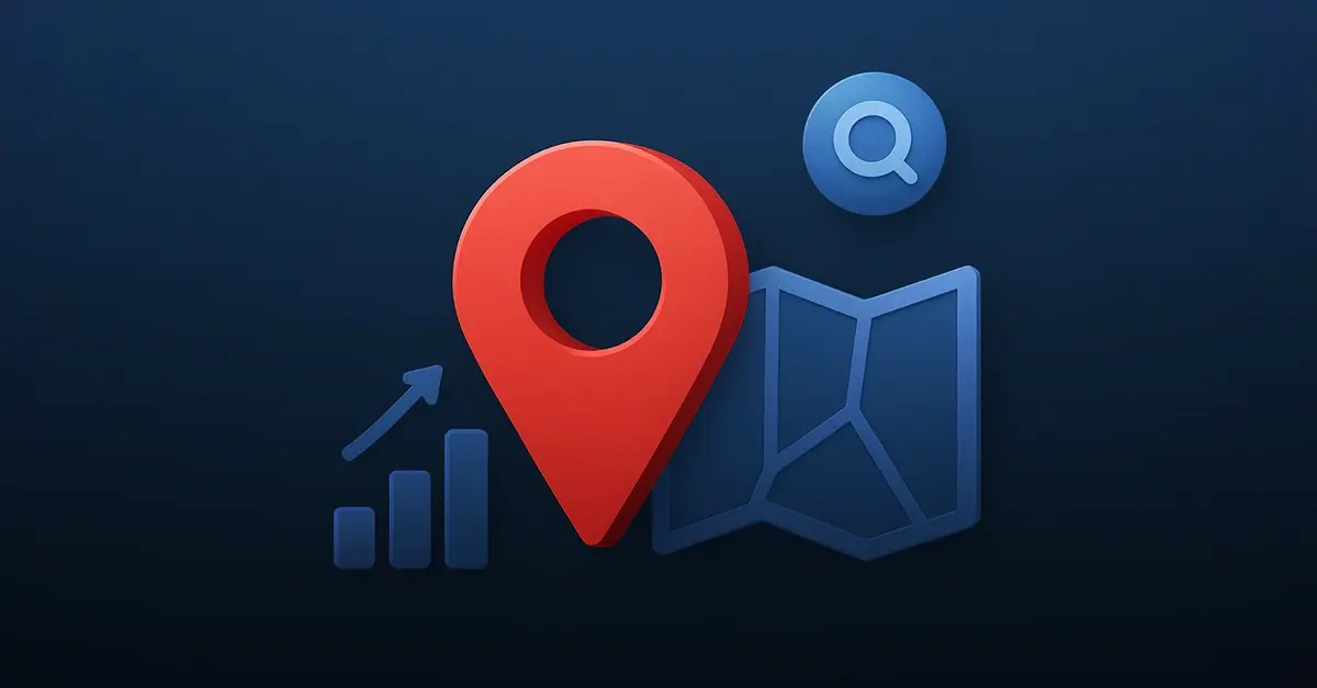
Accurate and Scalable

POI Data for Mapping and Analytics.
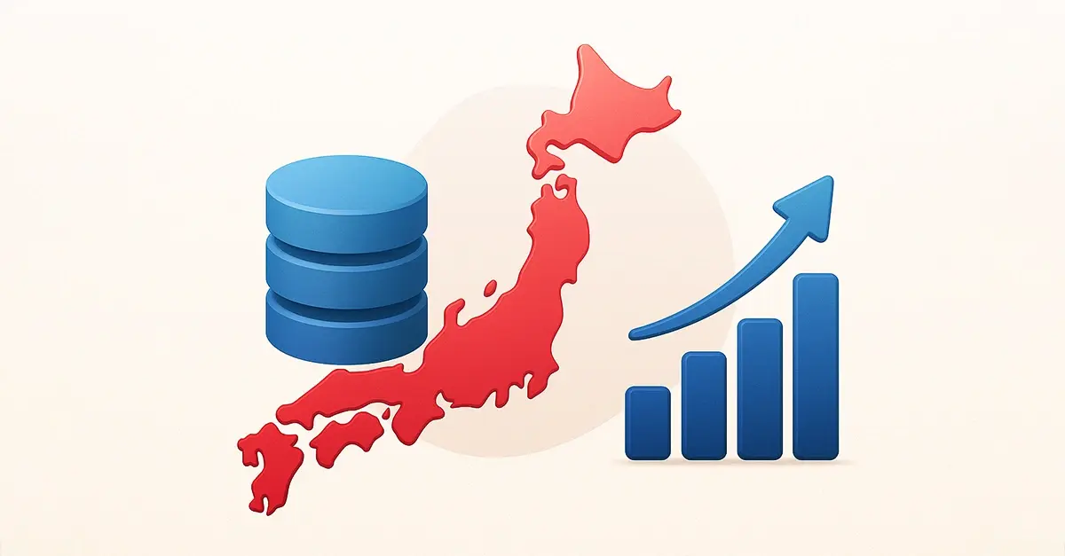
  • Global Reach: Access over 164M+ POIs across 200+ countries, ensuring unmatched coverage for your business needs.
  • Decades of Expertise: Backed by 30+ years of experience in curating and refining industry-leading datasets.
  • Trusted Reliability: Data validated continuously from diverse, authoritative sources for maximum accuracy and dependability.
  • In-Depth Details: The most comprehensive POI dataset, enriched with detailed, actionable attributes.
  • AI-Enhanced Precision: Advanced AI ensures deduplication, attribute enhancement, and robust data enrichment.
  • Seamless Standardization: Aligned with NAICS categorization for effortless integration and operational consistency.
lat-long-poi-map-pic
poi-map-pic
  • 164M+
    Global POIs
  • 360M+
    Businesses
  • 3500
    Business Categories
  • 220
    Countries and Territories
Geospatial Data icon_geolocations
Geospatial data represents any information tied to a specific geographic location. It consists of latitude, longitude, building geometrics, street segment, and many more location data attributes. Such data enables easy visualization through maps and geographic information systems (GIS). Geospatial data is essential for navigation, environmental monitoring, infrastructure development, and business intelligence applications.
Location Intelligence icon_location_intelligence
Location intelligence data refers to the spatial insights derived from analyzing geographic data, enabling businesses to make informed decisions based on location-based patterns and trends. This data includes attributes such as geolocation coordinates and demographics.
Places Data poi-places
Places data refers to specific locations of public interest, such as banks, restaurants, hotels, schools, shops, hospitals, and more. All such public places are categorized (we provide 3500 categories), and each place is associated with more than 460 data attributes, such as name, address, opening hours, reviews, language spoken, contact information, lat/long, geolevel, building type, and more.
Building Footprints points-of-interest
Building footprints are precise geometric boundaries of a building (physical structure), often associated with a particular point of interest. Building footprint datasets contain the foundation's exact size, shape, type, and location, i.e., longitude, latitude, geocoding level, street segment, and more. Building footprints are needed to create polygons for mapping, geospatial analysis, urban planning, and more.
Polygons poi-data-points
Polygons can represent not only the total area of a building but also other areas and structures associated with the facility. They are a broader concept that refers to any defined area on a map, including boundaries and building footprints. Polygon data enables organizations to analyze the relationships between points of interest (POIs) in larger geographic contexts. 
Intelligence Beyond Boundaries

POI Data Use Cases.

1) Logistics optimization for a delivery service
A logistics company uses POI data to map delivery points in urban and rural areas.
Using geolocation and building footprint data, they optimize routes, reduce delivery times, and improve fuel efficiency. 

2) Competitive analysis for a quick service restaurant 
A fast-food chain uses POI data to map competitor locations and customer traffic trends. With insights into nearby establishments and demographics, they tailor menus and pricing to outperform competitors in specific regions. 

3) City planning by a local government 
A city government uses POI data to evaluate public facilities such as schools, hospitals and parks. By identifying underserved areas, they can plan infrastructure investments and improve accessibility for residents.
poi-use-case
1) Real-time traffic updates for commuters
A navigation app uses POI data combined with real-time traffic conditions to guide commuters through the fastest routes. By integrating geolocation data and road incident reports, the app reduces congestion and improves travel time accuracy.

2) Traveler assistance
A navigation tool uses POI data to provide travelers with nearby attractions, restaurants, and landmarks. By incorporating building footprints and detailed categories, users can explore specific types of venues tailored to their preferences.

3) Electric Vehicle (EV) Charging Station Finder
A navigation tool for EV drivers integrates POI data to show the nearest charging stations. The tool includes attributes such as charging speeds, availability, and user reviews to improve the charging experience and reduce range anxiety.
points-of-interest-navigation-use-case
1) Retail store expansion for a fashion brand
A global fashion retailer uses POI data to analyze potential store locations. By evaluating nearby competitors, customer demographics, and foot traffic patterns, they identify prime areas with high revenue potential.

2) Quick service restaurant (QSR) franchise placement
A QSR chain evaluates POI data to select franchise locations near high-traffic areas such as shopping malls, schools, and highways. Data on nearby competitors and local demographics helps optimize location profitability.

3) Warehouse location selection for an e-commerce company
An e-commerce company uses POI data to locate warehouses near major transportation routes, population centers, and delivery hubs. By incorporating building footprints and geolocation data, they minimize shipping times and operational costs.
poi-site-selection-use-case
1) E-commerce order fulfillment
An online retailer uses address validation to ensure that customer shipping addresses are accurate and deliverable. By correcting typos and verifying details, they reduce failed deliveries and improve customer satisfaction.

2) Banking and financial services
A bank uses address validation during customer onboarding to ensure compliance with regulatory requirements such as Know Your Business (KYB). This reduces the risk of fraud and streamlines the account opening process.

3) Delivery route optimization for couriers
A logistics company uses address validation to confirm delivery locations before creating optimized routes. Accurate addresses save fuel, time, and effort while improving delivery success rates.
address-validation-in-poi-data
1) Disaster Risk Assessment
A government agency uses geospatial analysis to map flood-prone areas, earthquake zones, and wildfire risks. This helps prioritize resource allocation and prepare emergency response plans.

2) Public health campaigns
A healthcare organization analyzes geospatial data to map disease outbreaks and vaccination coverage in specific regions. This helps target underserved areas with medical resources and educational campaigns.

3) Agricultural land optimization
An agribusiness uses geospatial analysis to evaluate soil quality, weather patterns, and water resources for better crop planning and land use efficiency. This increases productivity while minimizing costs.
spatial-analysis-poi-data
CTA_bg_white2
Frequently asked questions
What is POI data?
Point of Interest (POI) data refers to information about specific locations, such as businesses, landmarks, or facilities. Each POI includes attributes such as name, address, coordinates, category, opening hours, and more.
How do businesses use POI data?

Businesses use POI data for mapping, location analysis, market research, delivery route optimization, competitive analysis, and improving the customer experience through location-based services.

What are the key attributes of POI data?

Key attributes include the POI's name, address, latitude/longitude, category, hours of operation, contact information, and additional metadata such as building footprints or brand information.

Can our POI data be customized?

Yes, POI data can be tailored to your business needs by selecting specific regions, categories or POI data attributes. Customized datasets ensure that you get the most relevant information for your use case.

Is our POI data updated on a regular basis?

Yes, we provide real-time POI data that is frequently updated to ensure accuracy. This includes changes to business names, addresses, closures, and new openings to keep your data reliable.

Newest blogs.

View all read-more-arrow
Building Footprints: meaning, datasets, usage
Understanding Building Footprints A building footprint is a precise geometric boundary of a building (physical structure), very often associated with a...
read-more-arrow
Building Footprints US Examples: Apple, Amazon and Microsoft
Building footprint datasetscontain the foundation's exact size, shape, and location, i.e., longitude, latitude, geocoding level, and more. Building footprints...
read-more-arrow
The Evolution of Geocoding: Moving From Street Segments to Qualified Building Footprint Data
Geocoding, which is the process of converting addresses into geographic coordinates, is becoming more and more searched for by businesses offering...
read-more-arrow